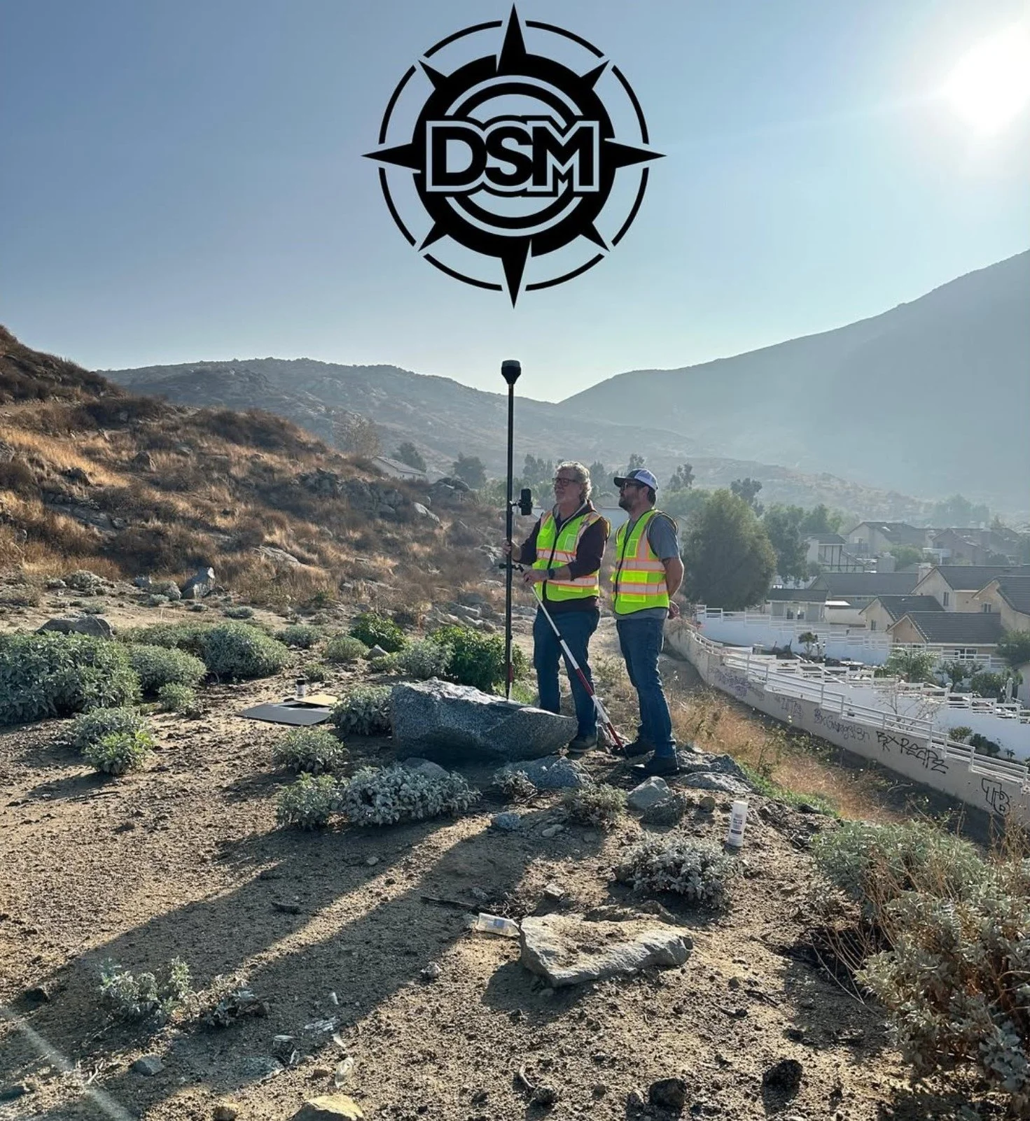
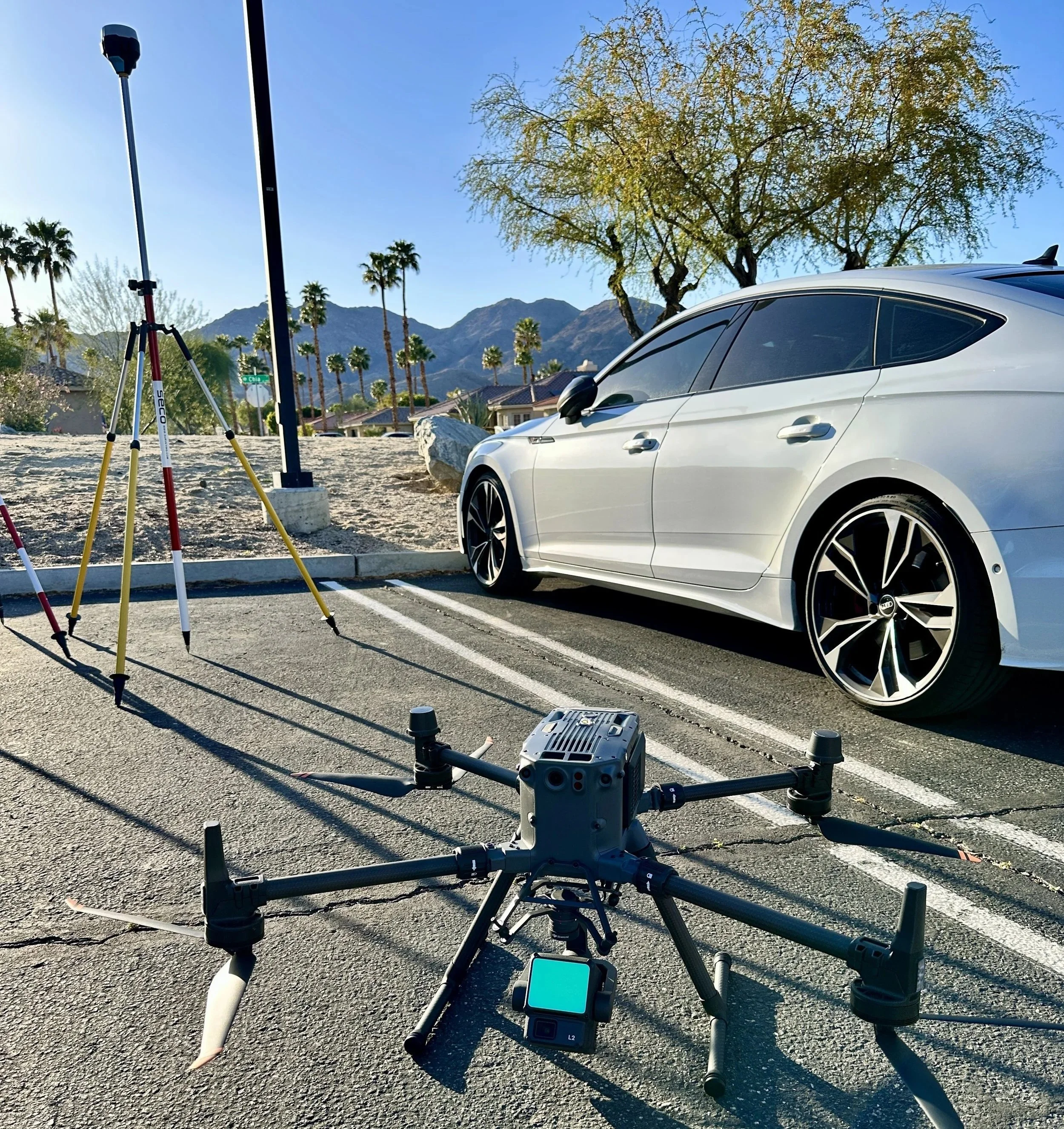
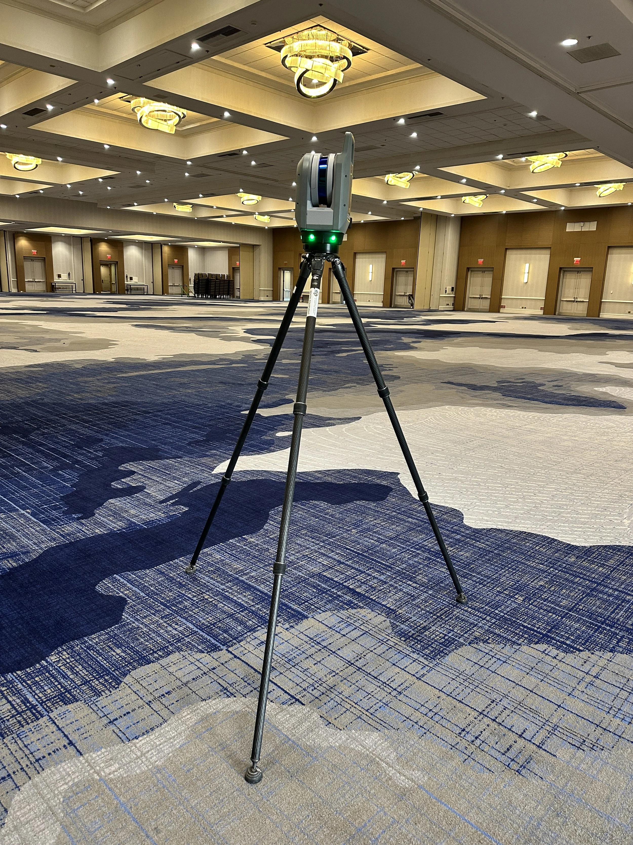
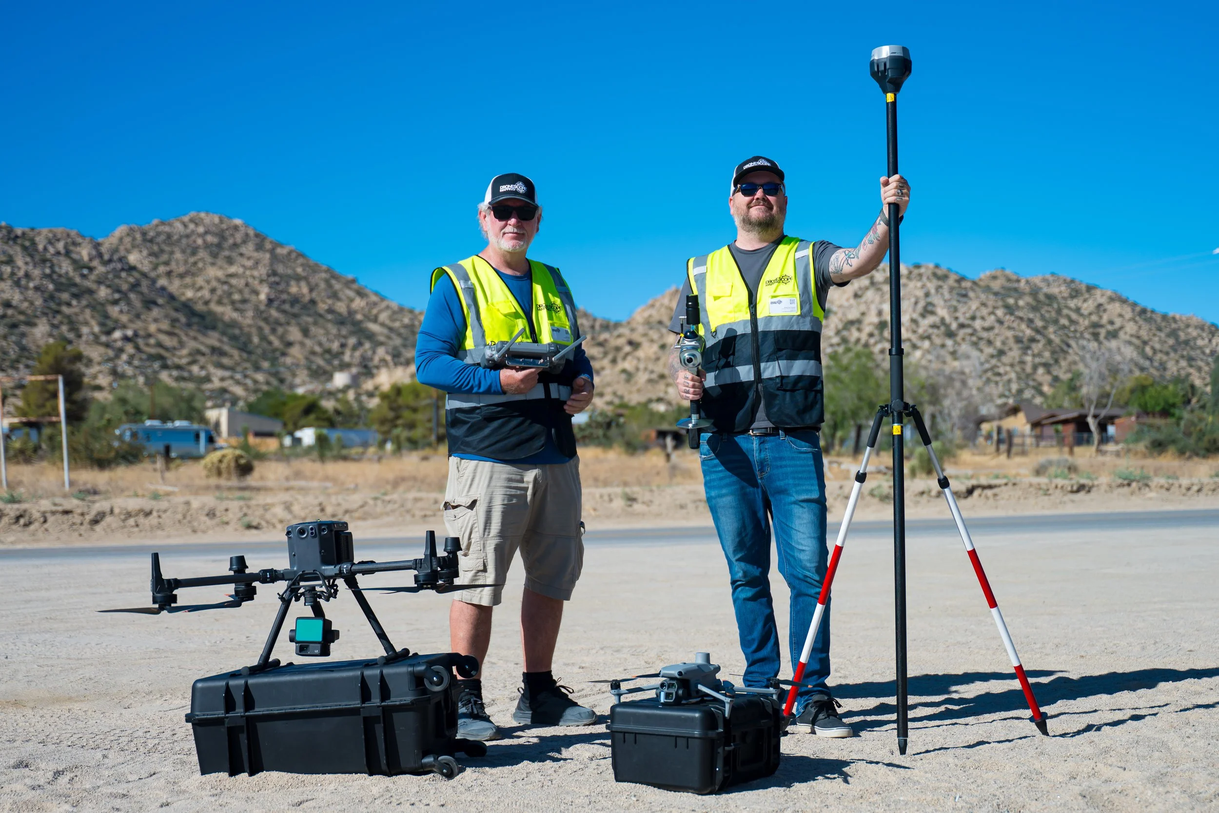
delivering spatial intelligence
Utilizing state of the art LiDAR technology we turn real-world spaces into clear, accurate drawings and 3D models so you can
plan, design, and build with confidence
SERVICES


we
provide
solutions
for…
Entertainment Venues
✳︎
Event Production
✳︎
Projection Mapping Workflows
✳︎
Architecture / Engineering / Construction
✳︎
Landscape Design
✳︎
Entertainment Venues ✳︎ Event Production ✳︎ Projection Mapping Workflows ✳︎ Architecture / Engineering / Construction ✳︎ Landscape Design ✳︎
Follow us on social
Contact Us
Interested in working together? Fill out some info and we will be in touch shortly. We can’t wait to hear from you!
FAQs
What do your services cost?
1
Every project is different. Pricing depends on site size, complexity, deliverables, and timeline. After a quick conversation, we provide a clear, upfront quote tailored to your specific needs—no surprises.
Are you qualified to operate drones commercially?
2
Yes. All drone operations are performed by FAA Part 107–certified pilots and follow current airspace and safety regulations.
Will you travel to my area?
3
Yes. We are based in Southern California and regularly travel for projects throughout the Southwest and beyond. Travel logistics are discussed upfront so everything is clear before work begins.
Are you licensed surveyors?
4
No. We are not licensed land surveyors and do not establish property boundaries or legal survey documents. We provide highly accurate reality-capture data and CAD-ready models showing existing conditions. We can partner with licensed surveyors or engineers when stamped or certified deliverables are required.